Mapssin

Maps and ADAUS Smart Indoor Navigation

MAPSSIN

MAPSSIN helps people find their destination quickly in complex spaces — malls, airports, hospitals, campuses, and warehouses.

Project Complete
0 %
Happy Clients
0 +
Client Statictions
0 %

What is MAPSSIN

Smart Indoor Navigation


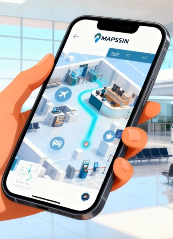
Imagine a GPS that works flawlessly inside buildings — from crowded airports to complex hospitals and massive shopping malls. Smart Indoor Navigation is our intelligent solution that provides precise, real-time guidance where traditional navigation systems fail.


By leveraging technologies like Bluetooth, Wi-Fi, sensors, and digital maps, our system guides users step by step through any complex indoor space, reducing lost time, confusion, and stress. It’s easy to integrate into mobile apps, compatible with augmented reality, and fully accessible for people with special needs.


Smart Indoor Navigation – because finding your way indoors should be just as easy as navigating the streets.


Smart Indoor Navigation is an advanced technology that enables accurate orientation and movement of a person or device inside buildings, where traditional GPS- based navigation systems are not effective.

Description:

Smart Indoor Navigation uses a combination of sensors, wireless signals (such as Wi-Fi, Bluetooth, ultra-wideband), detailed digital maps, and sometimes artificial intelligence to provide users with real-time guidance in enclosed spaces — such as shopping malls, airports, hospitals, museums, or office buildings.

Key Features:

Accurate indoor positioning, with precision down to a few meters or even centimeters.

Step-by-step guidance to the desired destination.


Real-time route updates based on the user’s location or potential obstacles.

Enhanced accessibility for people with disabilities.


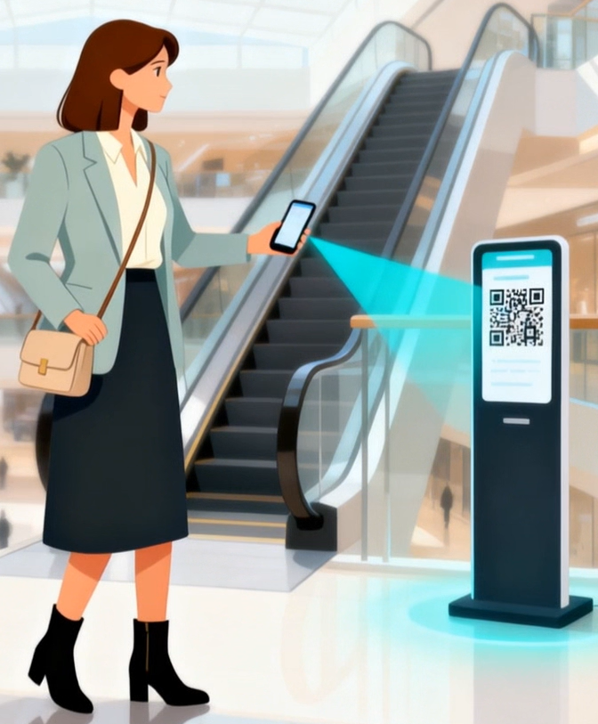
Integration with mobile apps and augmented reality systems for an interactive experience.

Common Use Cases:

Guiding visitors inside a mall or airport.


Assisting patients and staff in navigating large hospitals.


Optimizing delivery routes in warehouses or factories.


Providing assisted navigation for visually impaired individuals or people with reduced mobility.

How it works:

Technologies used (beacons/BLE, Wi-Fi RTT, AR, LIDAR/UWB if applicable, localization algorithms, vector maps).

Video & gallery

What Our Clients Say

Get Started

MAPSSIN

Don’t jump to conclusions, download PITCH DECK, watch the video description, send me an email or contact us, ask us about MAPSSIN.